
Update (13:15ET): Updated flight map shows CBP-104 has left Minneapolis.

* * *
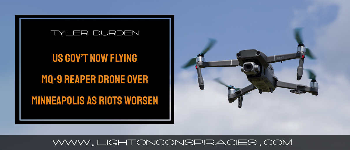
The US Customs and Border Protection (CBP) is currently flying a General Atomics MQ-9 Reaper military surveillance drone above Minneapolis to spy on protesters.
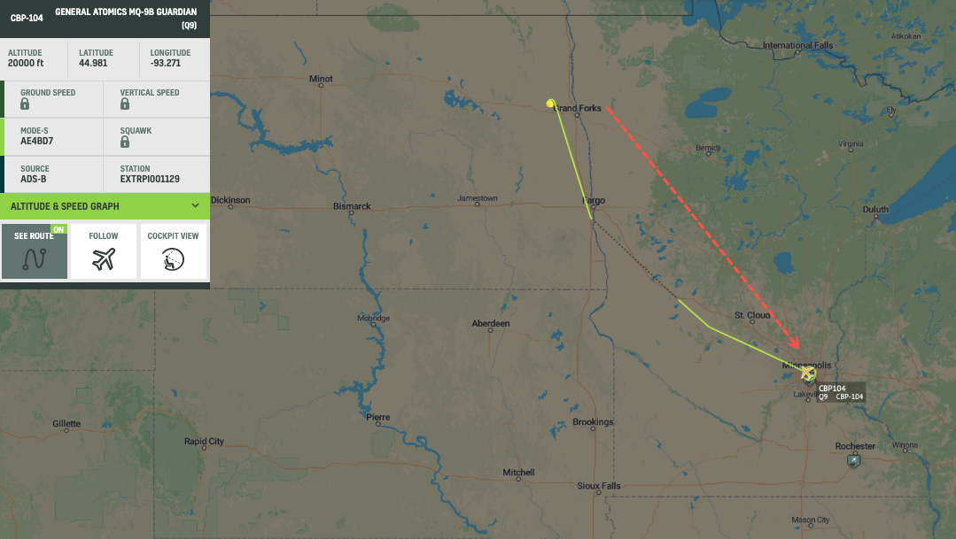
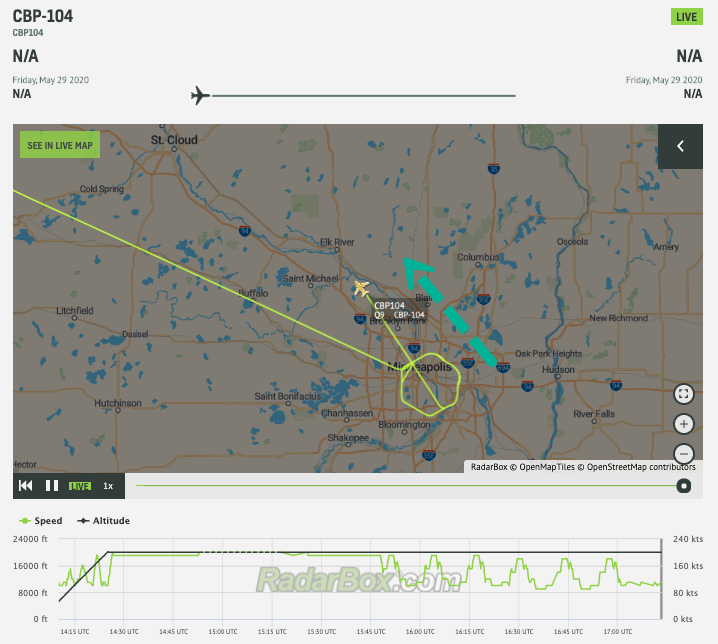
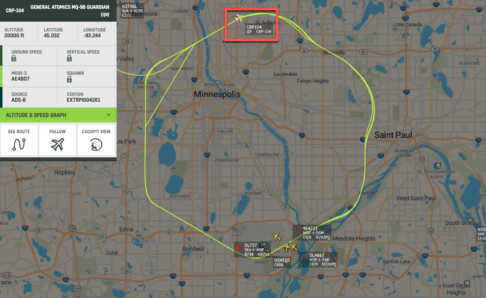
Here is the live air map via Radar Box showing the CBP-104 flying at 20,000 feet altitude while it gathers intelligence on the social unrest.

CBP-104 flight map as of 12:45 ET
CBP-104 could have come from Grand Forks Air Force Base, located in Grand Forks County, North Dakota (there is no confirmation on origins).
CBP-104 flight map as of 12:45 ET
Yeah, you know the social unrest is that bad when the federal government has to fly a military drone above a metro area to keep tabs on protesters.


